Geographical Information System: A Military Reference Guide
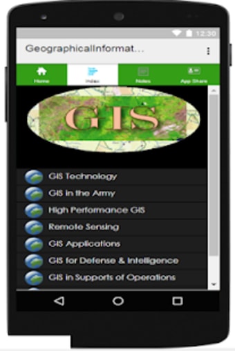
Geographical Information System (GIS) is a software designed to capture, store, manipulate, analyze, manage, and present geographic data. It is a large domain within the broader academic discipline of geoinformatics. GIS applications are tools that allow users to create interactive queries, analyze spatial information, edit data in maps, and present the results of all these operations. The Geographical Information System app contains a GIS handout for military users for easy references. This app covers a wide range of topics, including GIS technology, GIS in the army, high-performance GIS, remote sensing in modern military operations, GIS applications in military operations, GIS in support of operations, annual of GIS, and military applications in GIS. The app is available for free for Android 9.0.
However, it should be noted that the content like articles, pictures, and videos in this application were collected from all over the web, and the app is not endorsed by or affiliated with any other affiliated entities. If the app has violated your copyright, please let the developer know, and it will be removed as soon as possible.